Topographic Surveys
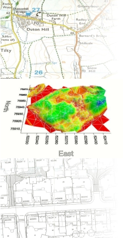
These surveys are typically for the purpose of mapping, planning, design, 3D modelling and volume analysis. Clients typically consist of architects, civil engineers, utility companies, local authorities, private and commercial property developers.
Precision terrestrial and GPS instruments are utilized to rapidly capture data for bespoke client requirements such as detailed ‘large scale’ plans at 1:200 to 1:500 scale for detailed design/planning purposes or for less detailed smaller scaled plans required for general location and landscaping requirements.
Topographic survey data is traditionally presented as a map or plan plotted on paper or film that may include height contours. Electronic CAD drawing files and 3D Digital Terrain Models are also available.
If you have any survey requirement or would like further information on the range of surveying services that we offer please contact us.